How to Map a Tree in the Arboretum Module
Step 1
Log into webCemeteries Management.
Step 2
Hover over "...More" on the left side menu and click "Arboretum".

Step 3
Search for the tree that you would like to map and click to view the tree details.

Step 4
Click “Edit Map” in the toolbar beneath the satellite map.

Mapping on a Mobile Device
If you are using a mobile device with Location Services turned on, a pin will display of where you are standing in the field. Click on the pin of where you are standing to drop the mapping coordinate for the tree.
Step 5
If you are using the desktop view of the software, click and hold the map to move the satellite image to the area where the tree is located.
Step 6
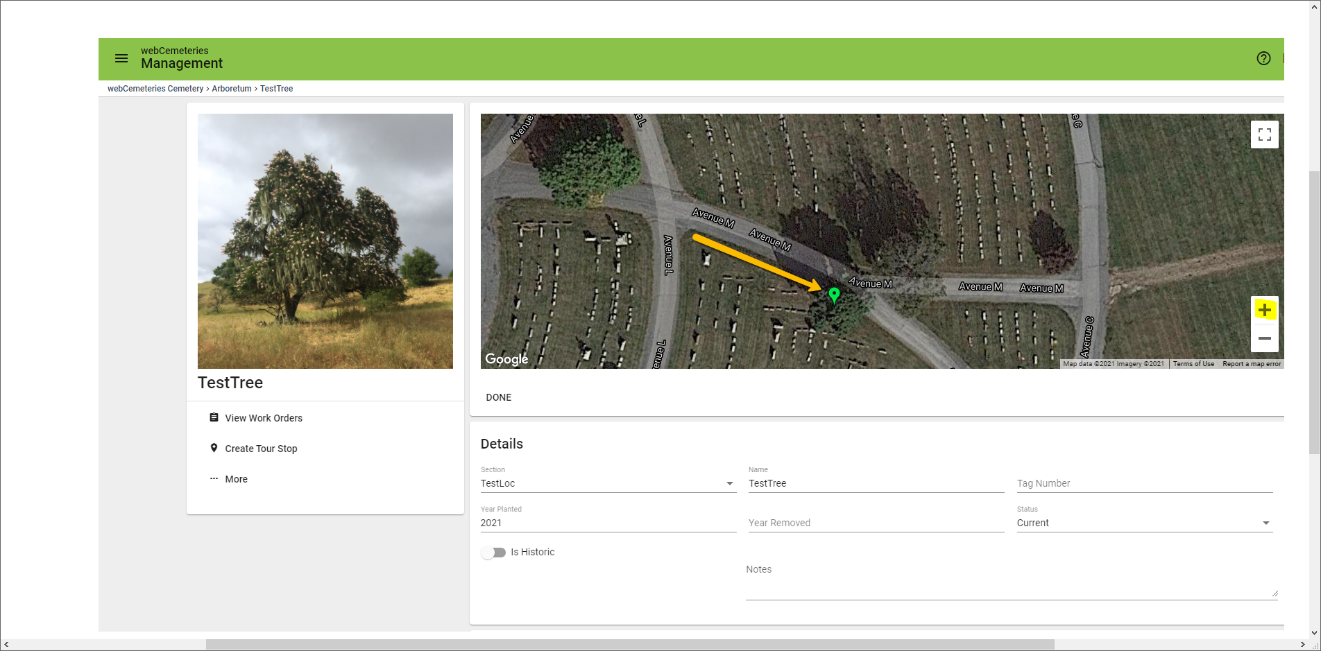
Once you’ve located the tree on the satellite image, click on the tree on the map to drop the pin. It helps if you zoom in to get the location very specific.

Step 7
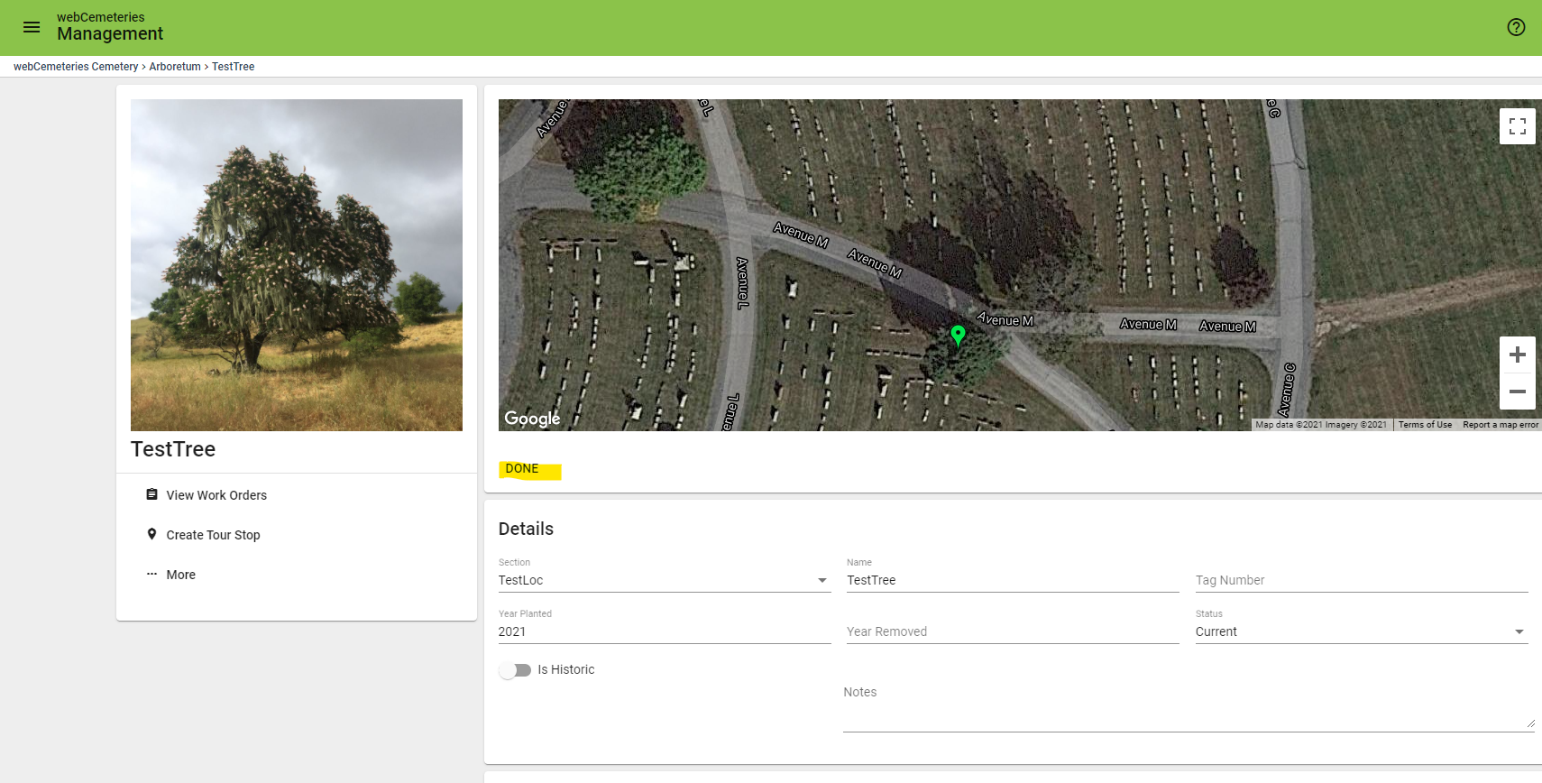
Click “Done” to save the mapping coordinate.

Step 8
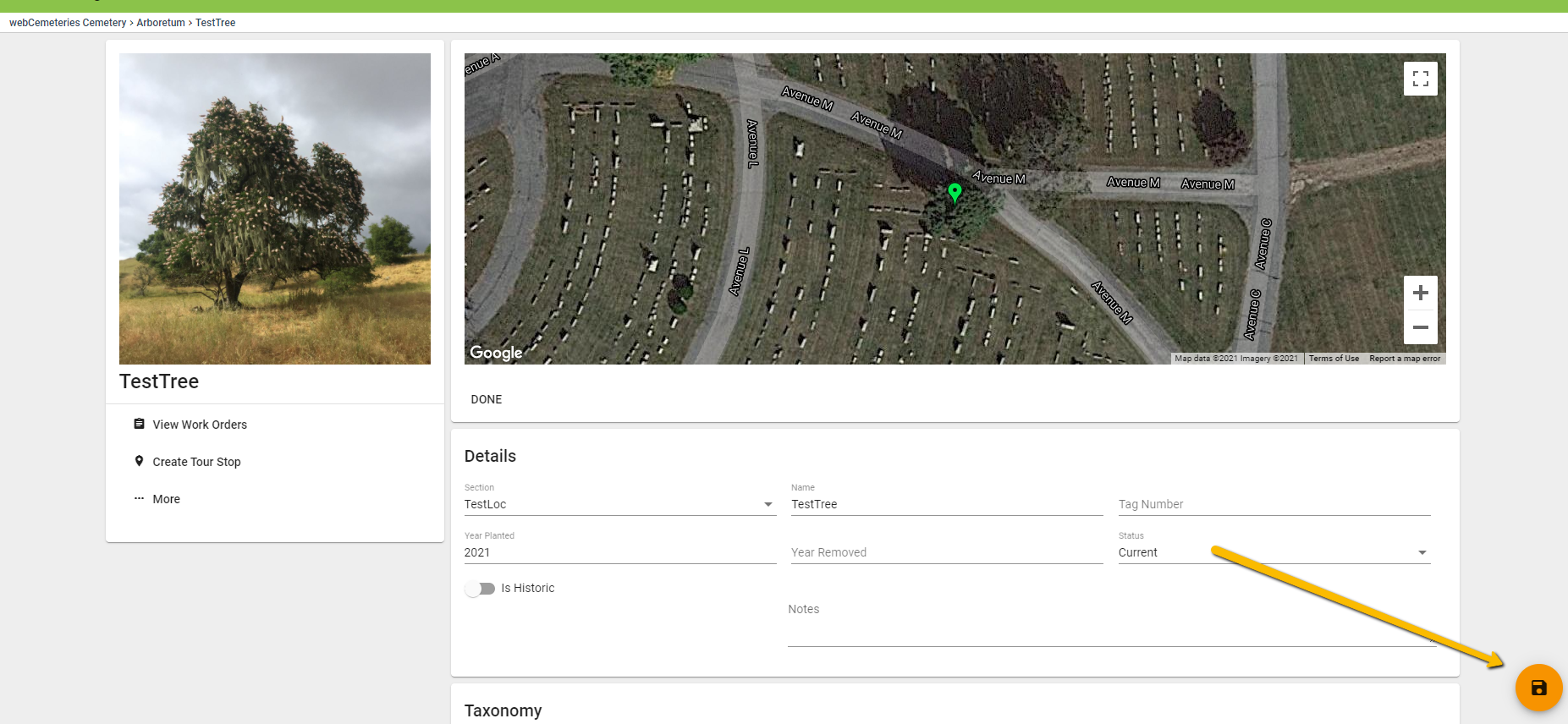
Click the orange save button in the bottom right corner of the page before navigating to the next tree that you would like to edit or map.

Video Demonstration
